Brief
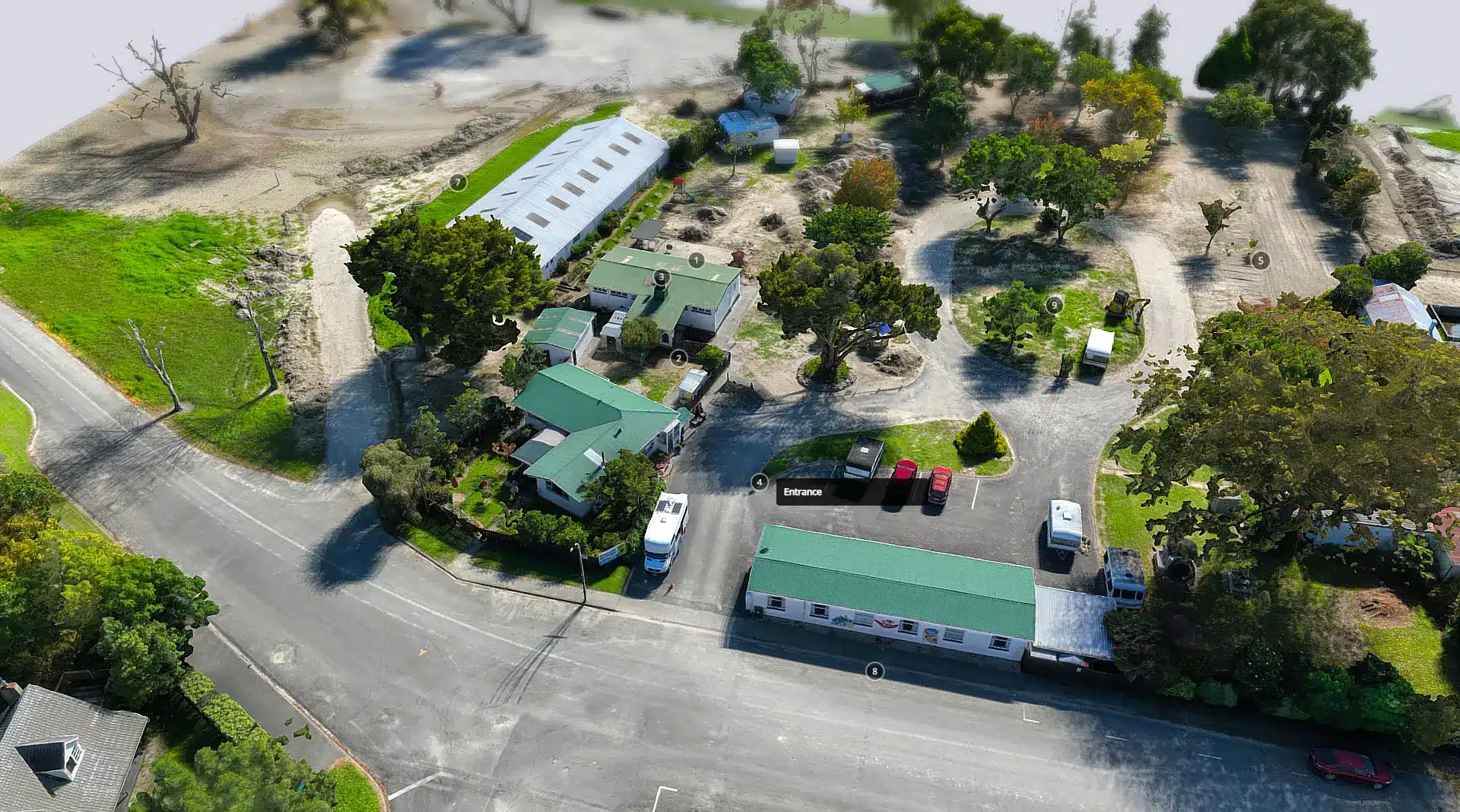
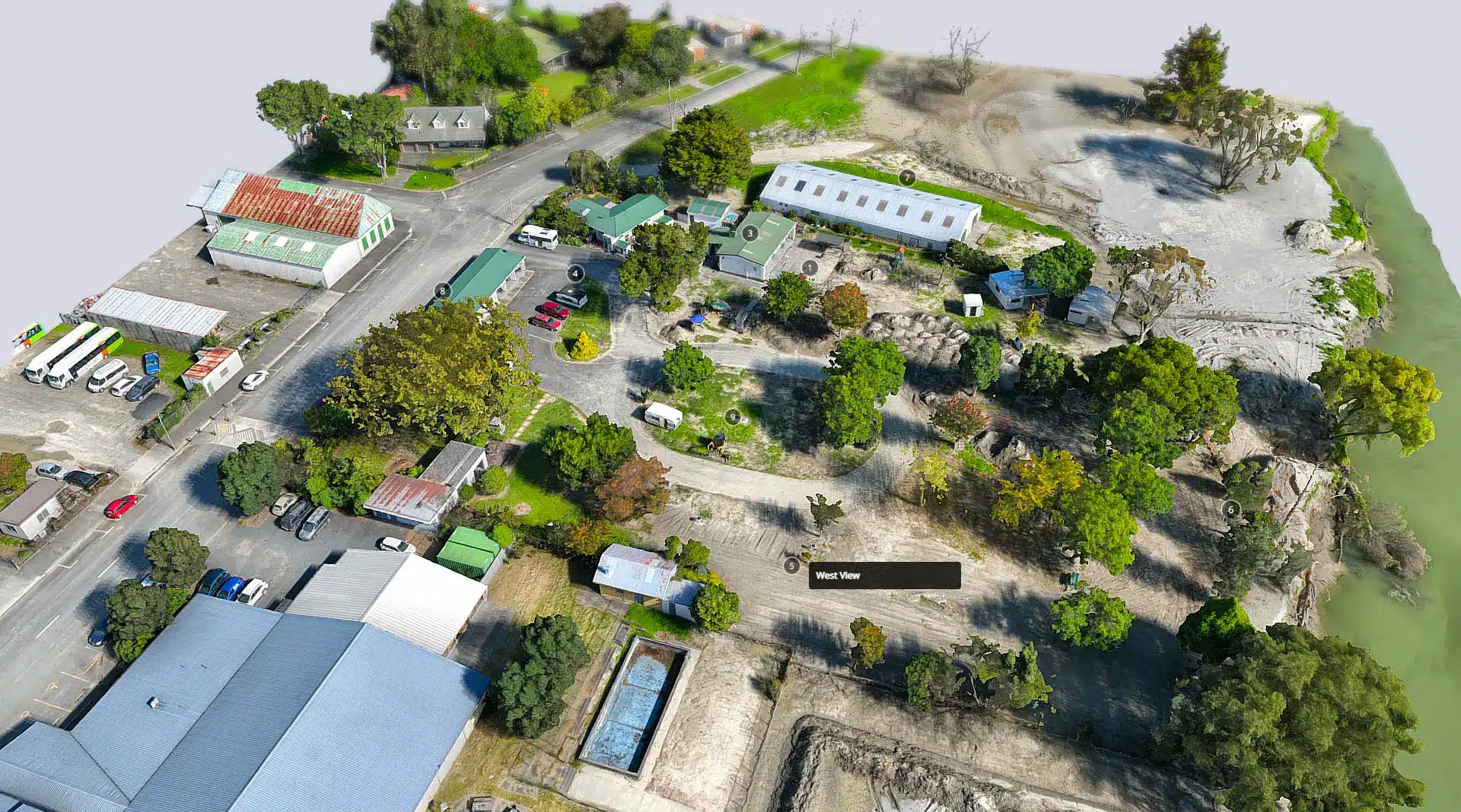
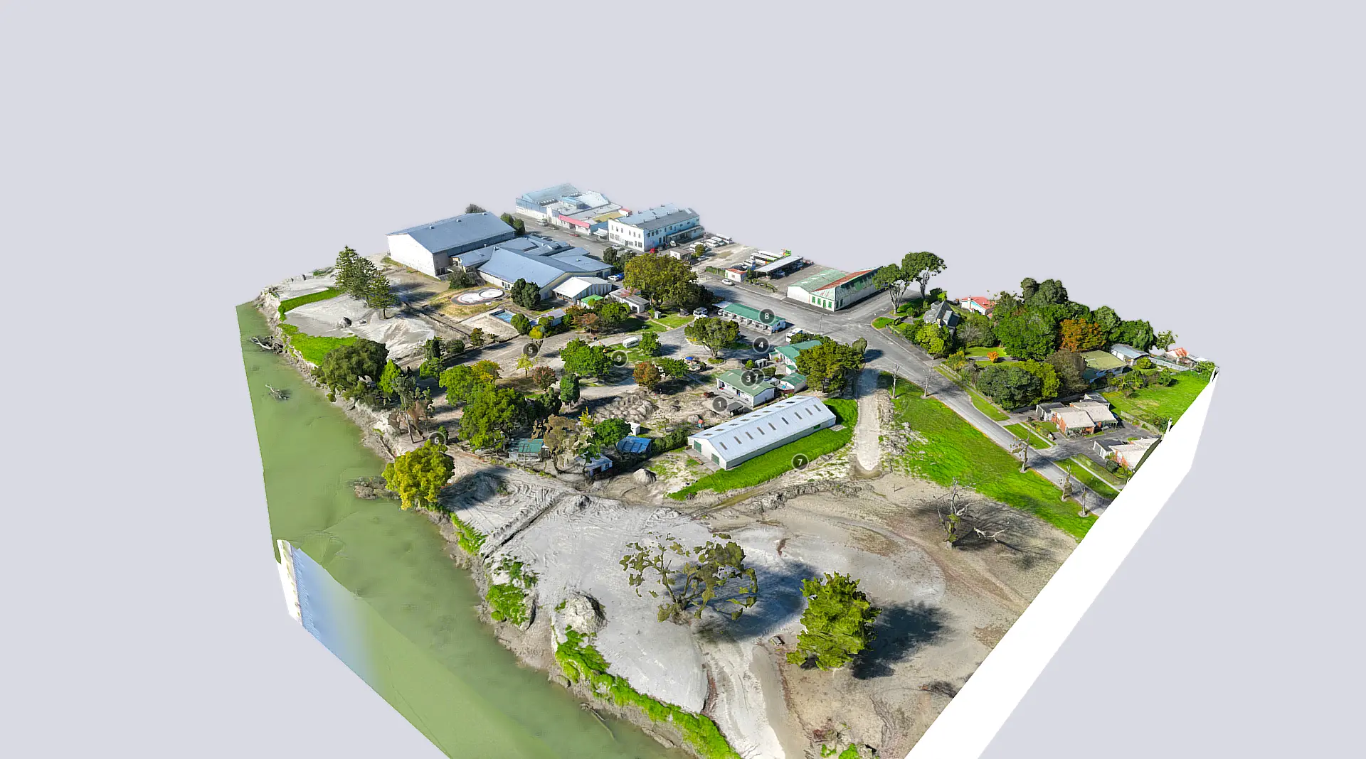
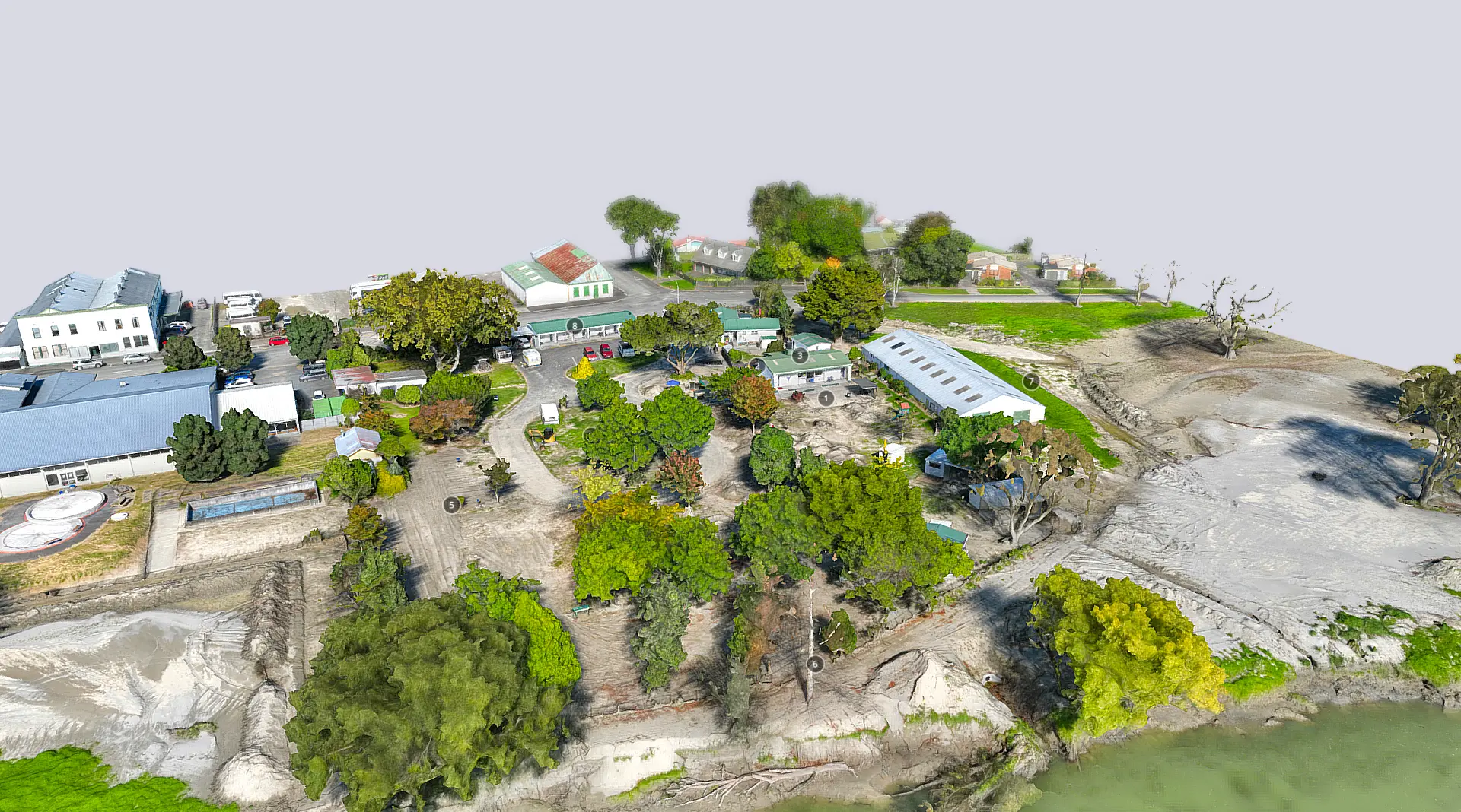
Following the destruction caused by Cyclone Gabrielle, we were tasked with creating a digital twin of the campground to assess the damage and potential future development of the site.
Context 3D capture highlights Wairoa storm damage
When Cyclone Gabrielle hit New Zealand in February 2023, the Riverside Motor Camp, situated on the banks of the Wairoa River on the east coast, was inundated with flood water and silt, leaving a thick layer of mud and debris on the severely affected site.
To urgently assess the damage to the grounds and buildings, and to develop plans to install stormwater pumps in the event of similar situations in the future, owners Wairoa District Council requested a digital 3D capture of the campground.
Context’s Spatial Data Lead Isaac Mui picked up the job and says: “The site was completely flooded. The water wiped out trees, a couple of small dwellings and left a trail of destruction and thick mud with mounds up to 2m tall. The campground looked like a disaster zone.” The team at Context used LiDAR scanning technology to capture precise geometric data of the site, including its shape, topography, and structural elements, and the damage left behind by the flood waters. This data was then used to create a highly accurate and detailed 3D representation of the site, or a digital twin.
Mui says: “The level of detail provided by the LiDAR can far surpass traditional surveying methods, which enabled us, and Wairoa Council, to have a more comprehensive understanding of the damage to the site and what the recovery could look like. Not only does the scan capture create a timestamp of the site, it also records information such as terrain, slopes, elevation changes, and potential hazards. This data can be used for safety and risk assessments in the clean-up and for future natural disaster management. By analysing the digital twin, potential risks and safety concerns can be identified, and appropriate measures can be implemented to mitigate them.”


Services
Services