Brief
We were approached to undertake remediation work on a large residential property in Tauranga. To achieve time and cost savings, we engaged our digital team to 3D capture the house before creating an accurate BIM model. The required remediation work was then added to the model.
Precision repair: 3D site capture for residential remediation
Built in 2001, this unique 5-bedroom, 4-bathroom property in Tauranga offers stunning views and a luxurious lifestyle. We were asked to provide remediation solutions for the dwelling to gain a retrospective Code of Compliance Certificate (CCC).
Traditionally, our team would have used a point-to-point measurement
tool – like a distro laser measure – to obtain all the specifications manually. Not only is this time-consuming, but it is also prone to errors, especially for complex 3-dimensional forms.
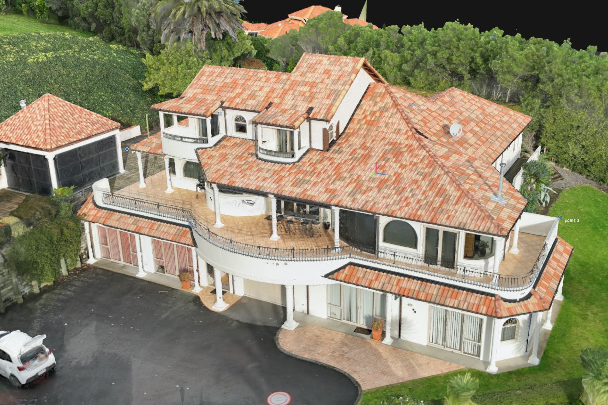
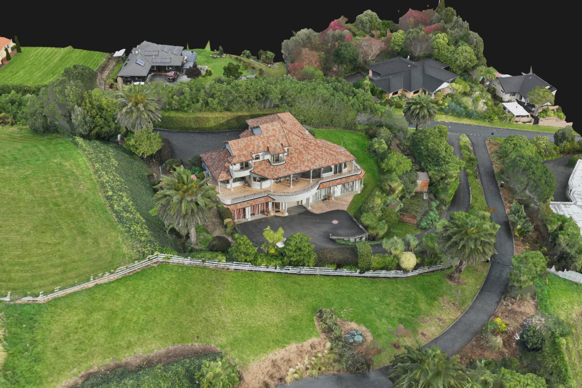
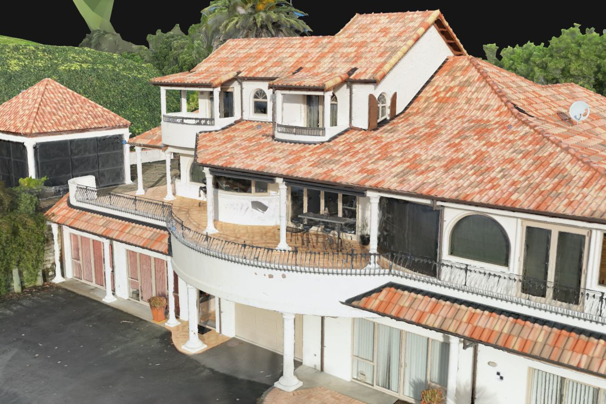
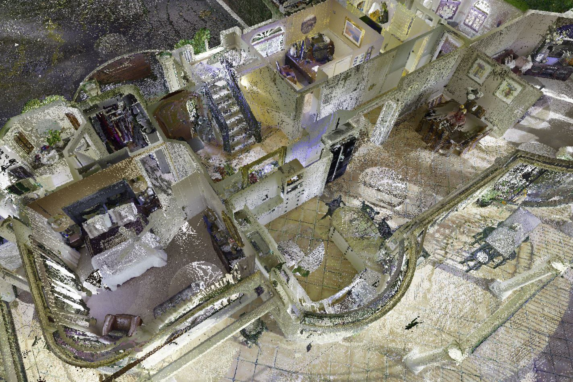
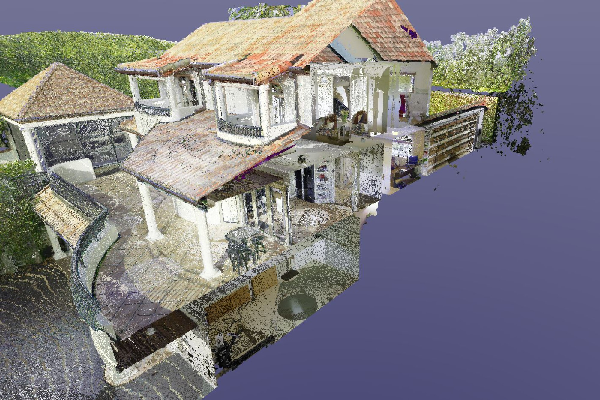
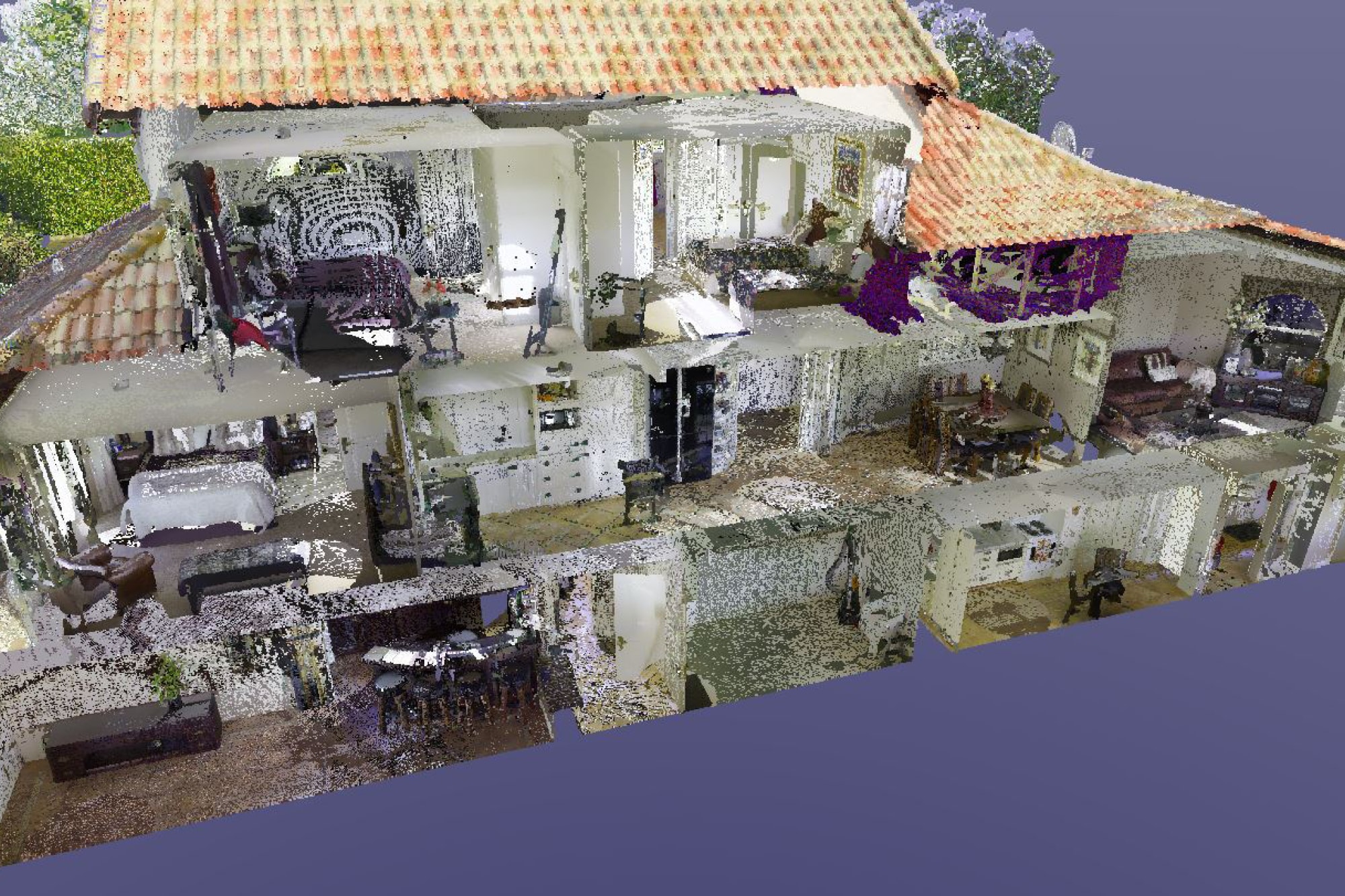
We sent our digital team with a LiDAR scanner and drone to carry out a 3D site capture of the property. With keen detail and hyper-accuracy, up to 2mm over 10m, we accurately captured the building, enabling us to create a 3D BIM CAD model. Once this was developed, we recommended the interventions required to gain the Code of Compliance Certificate.
Using this technology has led to significant cost and time savings and improved accuracy. Additionally, it has helped us understand the source of the problems in many of the targeted repair zones, including issues with the cladding, wall framing and the roof.
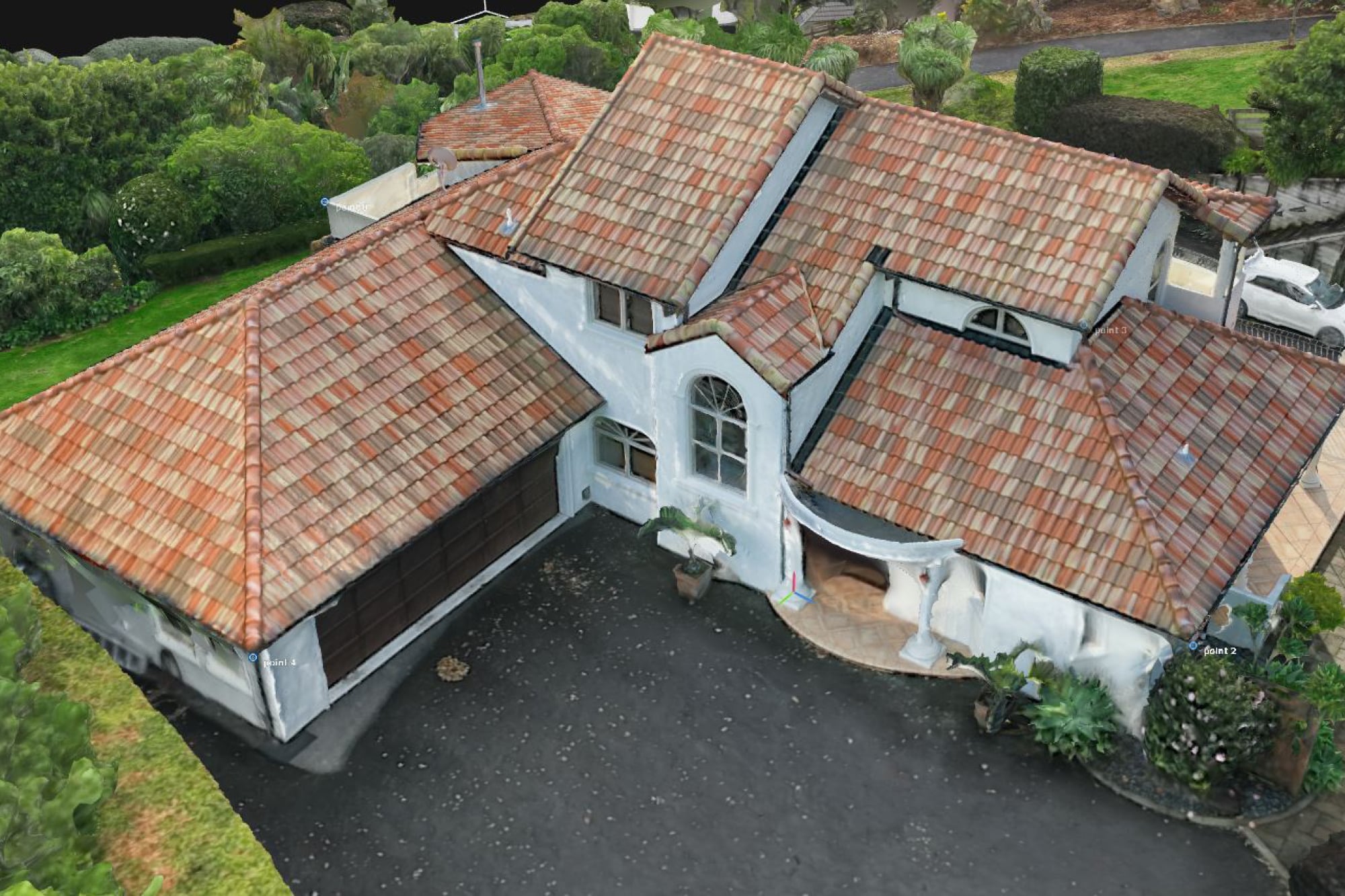
Watch this short film to see the photogrammetry model created by our drone.
